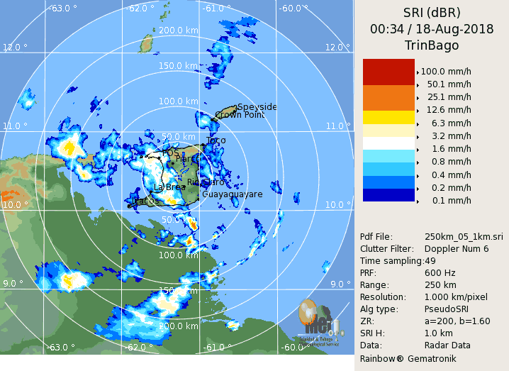
Not a drop last night...I remember living mia for some time and when the weather person say expect something...bet ur bottom dollar....it gonna happen...locally idk nah
Mc Bean, Couva got a very heavy shower and quite a bit of water around now. Again 2.30-3.30PM event after very hot and humid morning. Life must go on, including a little personal wet-down.
Trinidad Express - I have had several inquiries from people in Trinidad regarding waterspouts in general, and particularly about one such phenomenon seen in the Gulf of Paria just after mid-afternoon on August 10, 2018.
I received video as well as pictures of this event. In appreciating my response a few persons suggested that maybe, readers could benefit from the explanation, brought to the layman level, of the phenomenon. It is in that regard that I write, since I am certain you received news and queries about the same event.
Over the many decades during which worked as a meteorologist at the Piarco Weather Office, I saw with my own eyes several dozen waterspouts altogether. In some cases, I was actually looking out for them as I had forecast favorable conditions for formation. But several others just appeared when I was out on fun and games, “liming” or at the beaches. A great variety of size and intensity occur off the North Coast, particularly off Macqueripe and Cyril's Bay, as well as in the Gulf of Paria (where they are ubiquitous) and even off Cedros and Moruga in the Columbus Channel.
The waterspout is a rotating column (vortex) formed over bodies of water when there exist specific atmospheric conditions, including a near a calm, hot day. For Trinidad, another requirement is a clear morning and weak easterly winds. And it is primarily a feature of the rainy season, occurring during breaks from the rains. When the easterlies weaken between long rainy spells, hot and calm days usually dominate. Shallow water is favorable as it warms easily and provides a starter mechanism for waterspout formation. The Gulf of Paria is estimated at only 25 meters in maximum depth.
It is a wrong impression that waterspouts start from the surface of water. In fact, they start in the air and then connect to the water surface. Given the conditions mentioned above, vigorous up-drafting air currents form, generating tall cumulus clouds that are not moving around fast. Small scale rotations in the cloud build downwards to the water below. Eventually, coupling occurs as the heated ocean surface provides a ready and waiting support, and even probably, additional updrafts that begin to rotate in unison with the cloud’s downward induced spiral. That produces what looks like a water-surface-sweeping upward motion concentrated and directed up to the cloud base. My observation of Trinidad waterspouts is that they form attached to the dark bases of deep cumulus clouds that extend from a base around 1,000 feet, vertically into the atmosphere to at least 15-20,000 feet. These are called cumulus congestus clouds. Occasionally the clouds could be way taller (eventually becoming a cumulonimbus - thunderstorm cloud, extending to above 40,000 feet).
The waterspout that formed in the Gulf of Paria on August 10, 2018.
When the vortex forms, at first there is no visible evidence. Then, one might see the water surface starting to circle around, forming a small rotating eye and when the connection is completed upwards to the cloud base, then a rotating column or cylinder might show. Once the helical formation matures, and pressure falls at its center, the result is a significant pressure differential from the core of the column to the unchanged outside atmosphere. This interior columnar low pressure is sufficient to cause water vapor to condense, leading to a visible condensate – it looks like cloud material, or to many people, it might look like “the water sucked up from the sea”.
That is what the viewer sees when looking at a waterspout – an actual pillar looking like a rotating water column, sometimes extending directly from the water surface to the cloud base. This is a microscale phenomenon and direction of rotation varies, but most are anticlockwise Sometimes the spinning waterspout looks vertically discontinuous because parts of the column’s interior are not at the pressure to promote water condensation. Motion differences of the column and the mother cloud above could stretch the column, twist it, making it long and “ropey”, and eventually break it up so that it dissipates. Cloud downdrafts, rainfall, as well as winds below cloud level also have the same effect, leading to dissipation. In addition, the column draws in environmental air that is dry and that also leads to breakup of the column. The most beautiful waterspouts are those that stay like vertical, near-opaque pillars moving slowly. Life cycles are short, from a few to maybe tens of minutes.
Importantly, waterspouts do not get their look by picking up water from the sea or lake. What one sees in the column is mainly condensate – water droplets. However, water does spin from the surface and gets sucked up and sprayed around at the base of the vortex, and might reach a few tens, or a couple hundreds of feet above the water surface. But that water falls back down, and could even drop fish and debris scooped and scavenged from the water below. That causes people to be mystified. Some boats and ships get wet when a waterspout passes over them. I saw one cross my path when I was driving to work at the Chaguaramas Naval Base in 1969, and it wetted the road while stripping off a few tree branches on landfall. In the case of a full-fledged strong waterspout coming on land, some damage to vegetation and weak structures could result before it dissipates.
I had documented several cases like that, the worse being on the Cedros peninsula, near Granville in the early 1990s. From the damage caused I estimated winds in the dying circulation to be 50-60 mph. Chances are, that was what I would define as a tornadic waterspout, a related entity to the simple waterspout we see. In the common form, the waterspout is a non-supercell “tornado” over water. While it is often weaker than most of its land counterparts, stronger versions spawned by mesocyclones do occur. Real tornadoes form over land from supercell thunderclouds. Near similar conditions cause tornadic waterspouts. A few weeks ago, we experienced in Minnesota several landspouts. It gets curiouser and curiouser, and a bit more complicated.
I end on a funny note. Around the waters of the Bahamas, people sometimes see waterspouts without the cloud above. Wow! That’s crazy man! But it is no mystery - the cloud dissipates and the funnel takes time to fizzle out, and that’s when they see it without the mother cloud.